Deir el-Bersha Tombs
Virtual asset linked to this landmark
- Virtual owner
- The platform
- Times sold
- 0
- Fame on Wikipedia
- 639 article reads in 12 months
- Searches (30 days)
- 0
- Watching
- 0
Virtual ownership only. It gives no legal, financial or physical right in the real landmark. Prices are set by the market and may fall.
About Deir el-Bersha Tombs and its history
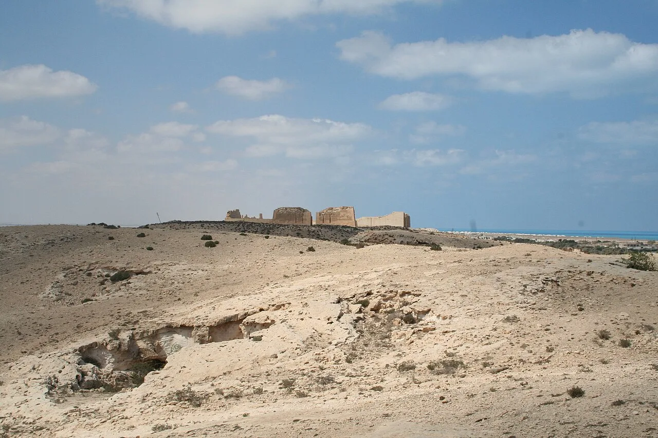
Rock-cut tombs of Middle Kingdom nomarchs east of the Nile, the best known being that of Djehutihotep with its scene of moving a colossus.
Deir El Bersha (Arabic: دير البرشا; also written as Dayr al-Barsha, Deir el-Bersheh) is a Coptic village in Middle Egypt, in the Minya Governorate. It is located on the east bank of the Nile to the south of Antinoöpolis and almost opposite the city of Mallawi. During the pharaonic period, there was a vast cemetery, which is most well known for its decorated Middle Kingdom tombs on the north flank of Wadi Nakhla.
Etymology
The name Barshā may be a preservation of the Ancient Egyptian toponym Pr-šs, meaning "House of Travertine" via Coptic Ⲃⲉⲣϣⲏ. The toponyms Αλαβάστρων Πόλις and Άλαβαστρίνη may be the Greek names for Pr-šs.
Overview
Dayr al-Barsha necropolis is near the Nile valley town of Minya, 225 km south of Cairo. An elite cemetery Middle Kingdom on the North Hill (referred to as Zone 2) is the most well known area of the necropolis. During the Middle Kingdom, it was the cemetery of the governors ("nomarchs") of the Hare nome, the 15th Upper Egyptian Nome. It contains several spectacular rock-cut tombs, one of the most famous being that of the nomarch, Djehutihotep. Several of these tombs were destroyed by ancient quarrying and looting, including some for construction at Amarna. However, "despite their poor state of preservation, they still contain important texts which, linked to contemporary quarry inscriptions at Hatnub, make it possible to reconstruct a family tree of the governors, spanning much of the Middle Kingdom."
The cemetery was in use before the Middle Kingdom, with third-dynasty "rock-circle tombs," the largest yet found of this time period, have been found on the west of the Middle Kingdom cemetery (zone 8). It also continued to be used as a cemetery until the end of the Second Intermediate Period and the early New Kingdom, as shown by pottery shards found in later expeditions. The area was also known to be inhabited by Coptic monks, especially the tombs in the valley. These tombs would evidently be plundered, and evidence of animal ritual offerings and sacrifices would be mixed with food refuse.
Source: Wikipedia · text available under CC BY-SA 4.0
- Location
- Minya, Egypt
- Coordinates
- 27.7533, 30.9033
- Category
- Ancient Sites
Source: Wikipedia · Factual information about the real landmark; unrelated to virtual ownership.
Price & ownership history
Landmarks near Deir el-Bersha Tombs
Map → Available
 Available
 Available
 Available