Lake Timsah
Virtual asset linked to this landmark

- Virtual owner
- The platform
- Times sold
- 0
- Fame on Wikipedia
- 9,948 article reads in 12 months
- Searches (30 days)
- 0
- Watching
- 0
Virtual ownership only. It gives no legal, financial or physical right in the real landmark. Prices are set by the market and may fall.
About Lake Timsah and its history
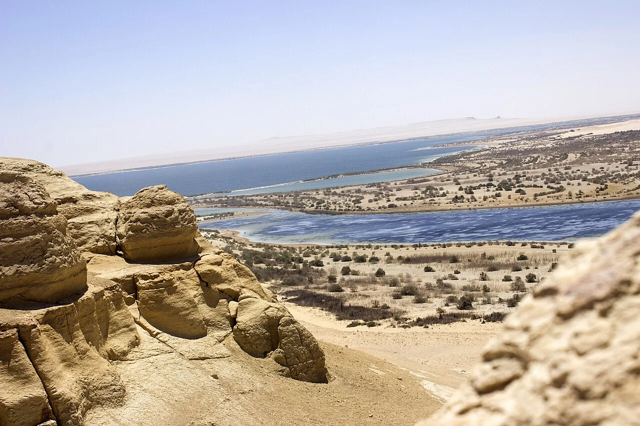
A lake crossed by the Suez Canal, with the city of Ismailia on its western shore and beaches along its banks.
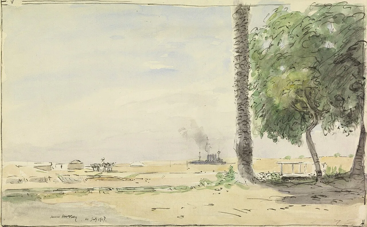
Lake Timsah, Arabic for Crocodile Lake (Arabic: بُحَيْرة التِّمْسَاح), is a lake in Egypt on the Nile Delta. It lies in a basin developed along a fault extending from the Mediterranean Sea to the Gulf of Suez through the Bitter Lakes region. In 1800, a flood filled the Wadi Tumilat, which caused Timsah's banks to overflow and moved water south into the Bitter Lakes about nine miles (14 km) away. In 1862, the lake was filled with waters from the Red Sea, and became part of the Suez Canal.
Geography
Lake Timsah lies within a depression that spans the isthmus between the Red Sea and the Mediterranean Sea. The lowest points of the depression form shallow natural lakes, of which Timsah is one. The surface area of Lake Timsah covers 5.4 square miles. Most of the lake is marshy and depth rarely exceeds 3 feet (0.91 metres).
It has been asserted that, in ancient times, Lake Timsah was the northern terminus of the Red Sea.
On March 4, 1863, the city of Ismailia, named in honor of the viceroy Ismail Pasha, arose on Lake Timsah's northern bank. Several beaches overlook the lake, including the Moslem Youth, Fayrouz, Melaha, Bahary, Taawen, and a few Suez Canal Authority beaches.
Lake Timsah possibly first became a juncture for canal construction approximately 4,000 years ago during the Middle Kingdom of Egypt, and was expanded by Darius I.
Suez Canal construction in the vicinity of Lake Timsah began in 1861 on the segment north of the lake. Initial preparations included the construction of sheds to house 10,000 workers, steam sawmills, and importation of large quantities of wheelbarrows and wooden planks. 3,000 laborers dug a channel (Ismailia Canal) from the Nile to Lake Timsah in 1861 and 1862, which brought a fresh water supply to the area. It was also proposed to construct a halfway port at this point along the canal.
The Ismailia section of the Suez Canal, which connected Lake Manzala to Lake Timsah, was completed in November 1862. Construction of the segment was completed with forced labor, which expanded the workforce to 18,000 men. The trench measured 50 feet (15 m) wide by four to six feet deep and connected Lake Timsah to the Mediterranean Sea. Work began south of Lake Timsah in 1862–1863 as expansion continued on the northern segment. Forced labor was used during canal construction from March 1862 until Ismail Pasha outlawed the practice in 1864. As a result of the canal, waters from Lake Manzaleh flowed into Lake Timsah. Expansion continued on the northern segment until 1867 and on the southern segment until 1876.
Source: Wikipedia · text available under CC BY-SA 4.0
- Location
- Ismailia, Egypt
- Coordinates
- 30.5667, 32.2833
- Category
- Nature & Parks
Source: Wikipedia · Factual information about the real landmark; unrelated to virtual ownership.
Price & ownership history
Landmarks near Lake Timsah
Map →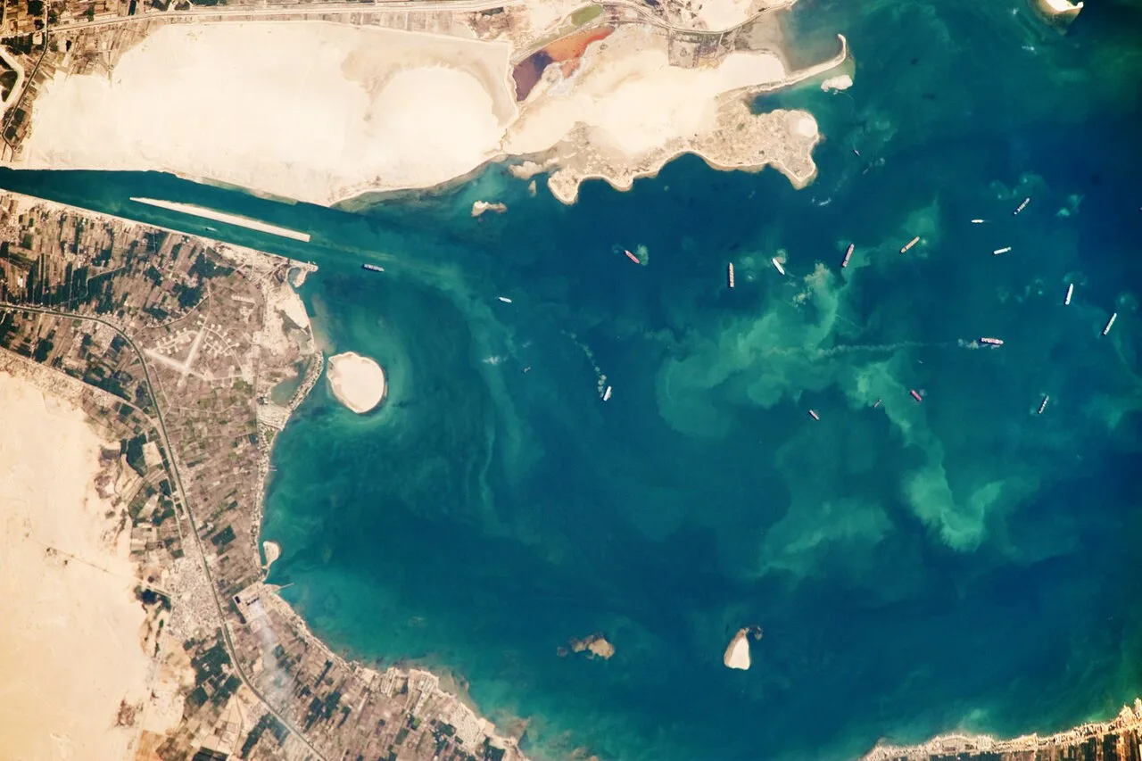 Available
📖 49 K reads
Available
📖 49 K reads
 Available
📖 68 K reads
Available
📖 68 K reads
 Available
📖 50 K reads
Available
📖 50 K reads
 Available
📖 35 K reads
Available
📖 35 K reads