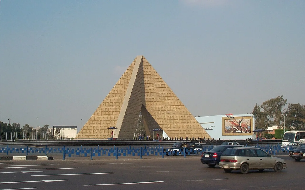
Nasr City
Virtual asset linked to this landmark
- Virtual owner
- The platform
- Times sold
- 0
- Fame on Wikipedia
- 24,914 article reads in 12 months
- Searches (30 days)
- 0
- Watching
- 0
Virtual ownership only. It gives no legal, financial or physical right in the real landmark. Prices are set by the market and may fall.
About Nasr City and its history
A large district in eastern Cairo.
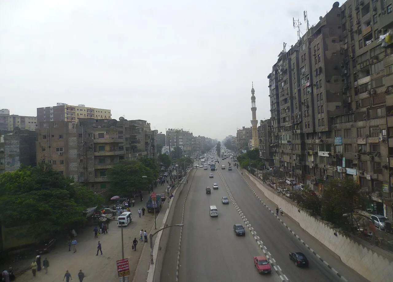
Nasr City / Victory City (Egyptian Arabic: مدينة نصر, romanized: Victory City pronounced [mæˈdiːnɪt ˈnɑsˤɾ]) forms two of the nine districts of the Eastern Area of Cairo, Egypt. It is administratively divided into Nasr City West/One (Gharb Madinet Nasr/awwal), (Victory City I) and Nasr City East/Two (Sharq Madinet Nasr/thani) (Victory City II). In 2021, Nasr City had a third district sub-divided from Nasr City East to be named either Nasr City Third or Al-Amal, (Victory City III) as well as a qism (police ward) named Nasr City Third.
History
Nasr City was established in the 1960s as an extension to the neighboring settlement of Heliopolis. The establishment of the district was part of the Egyptian Government's plan to modernise and expand Cairo following the Egyptian Revolution of 1952. Gamal Abdel Nasser, the Egyptian President at the time, was involved personally in the design process, and was the one who chose the name Nasr for the new district ("nasr" being the Arabic word for "victory"). During the early stages of the project it was envisioned that it would constitute a new capital city, though it just became a suburb of Cairo.
Nasr City was planned by architect and urban planner Sayed Karim on a modern grid street system with calculated building heights, densities and land uses. However, many of the original family homes have since been demolished to make way for illegal residential 'towers' that have heavily densified it.
Municipal divisions and demographics
Nasr City is the largest neighbourhood in Cairo by area, occupying nearly 250 km2 (97 sq mi) of the capital's total area of 1,445 km2 (558 sq mi). For this reason, it is divided into two districts (hayy): East Madīnat Naṣr (Qism Awwal) and West Madīnat Naṣr (Qism Than), and 25 sub-districts that have become shiakhas (non-administrative census blocks), that have a mix of names, and numbers (see table below). In addition to the planned sub-districts, Nasr City is home to two self-built informal areas: Ezbet al-Haggana and Ezbet al-Nasr.
As of the 2017 census, Nasr City had a total population of 707,000 people:
East Madinat Nasr (Qism Awwal): 634,818
West Madinat Nasr (Qism Than): 72,182.
Source: Wikipedia · text available under CC BY-SA 4.0
- Location
- Cairo, Egypt
- Coordinates
- 30.0560, 31.3300
- Category
- Districts, Streets & Markets
Source: Wikipedia · Factual information about the real landmark; unrelated to virtual ownership.
Price & ownership history
Landmarks near Nasr City
Map → Available
 Available
 Available
 Available