Al-Muizz Street
Virtual asset linked to this landmark
- Virtual owner
- The platform
- Times sold
- 0
- Fame on Wikipedia
- 2,104 article reads in 12 months
- Searches (30 days)
- 0
- Watching
- 0
Virtual ownership only. It gives no legal, financial or physical right in the real landmark. Prices are set by the market and may fall.
About Al-Muizz Street and its history
A historic street running about one kilometre between Bab al-Futuh and Bab Zuweila, lined with medieval monuments.
Al-Muizz li-Din Allah al-Fatimi Street (Arabic: شارع المعز لدين الله الفاطمي, romanized: Shāriʻ al-Muʻizz li-Dīn Allāh al-Fāṭimī), or al-Muizz Street for short, is a major north-to-south street in the walled city of historic Cairo, Egypt. It is one of Cairo's oldest streets and dates back to the foundation of the city (not counting the earlier Fustat) by the Fatimid dynasty in the 10th century, under their fourth caliph, Al-Mu'izz li-Din Allah (after whom the street is named).
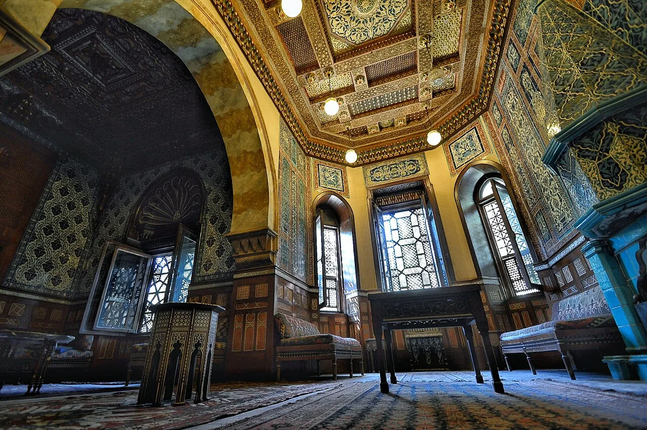
Historically, it was the most important artery of the city and was often referred to as the Qasaba (or Qasabah). It constituted the main axis of the city's economic zones where its souks (markets) were concentrated. The street's prestige also attracted the construction of many monumental religious and charitable buildings commissioned by Egypt's rulers and elites, making it a dense repository of historic Islamic architecture in Cairo. This is especially evident in the Bayn al-Qasrayn area, which is lined with some of the most important monuments of Islamic Cairo.
Description
Al-Muizz street runs from the city gate of Bab al-Futuh in the north to the gate of Bab Zuweila in the south, both entrances in the stone walls built by the vizier Badr al-Jamali in the 11th century. This makes it one of the longest streets in the walled city, at approximately one kilometer long. Although the name al-Muizz street generally applies only to the street within the historic walled city, in practice the road begun by al-Muizz street continues (under various names) further south for a few kilometers, passing through the Qasaba of Radwan Bey (al-Khayamiya street), and finally ending at the great Qarafa necropolis (the Southern Cemetery or City of the Dead).
History
Historically, the street was referred to as the Qasaba (a word of variable usage in Arabic, but in this case referring to a central part of the city), and constituted the main urban axis of economic and religious life in Cairo.
It was laid out at the very beginning of Cairo's foundation by the Fatimid dynasty. The Fatimids conquered Egypt in 969 CE with a North African Kutama army under the command of the general, Jawhar al-Siqilli. In 970, Jawhar was responsible for planning, founding, and constructing a new city to serve as the residence and center of power for the Fatimid Caliphs. The city was named al-Mu'izziyya al-Qaahirah, the "Victorious City of al-Mu'izz", later simply called "al-Qahira", which gave us the modern name of Cairo. The city was located northeast of Fustat, the existing capital and main city of Egypt. Jawhar organized the city so that two great palaces for the caliphs were at its center, while between them was an important plaza known as Bayn al-Qasrayn ("Between the Two Palaces"). The city's main street connected its northern and southern gates and passed between the palaces via Bayn al-Qasrayn.
Source: Wikipedia · text available under CC BY-SA 4.0
- Built / established
- Laid out with Fatimid Cairo in the 10th century
- Location
- Cairo, Egypt
- Coordinates
- 30.0510, 31.2616
- Category
- Districts, Streets & Markets
Source: Wikipedia · Factual information about the real landmark; unrelated to virtual ownership.
Price & ownership history
Landmarks near Al-Muizz Street
Map → Available
 Available
 Available
 Available