Al-Azhar Park
Virtual asset linked to this landmark

- Virtual owner
- The platform
- Times sold
- 0
- Fame on Wikipedia
- 11,323 article reads in 12 months
- Searches (30 days)
- 0
- Watching
- 0
Virtual ownership only. It gives no legal, financial or physical right in the real landmark. Prices are set by the market and may fall.
About Al-Azhar Park and its history
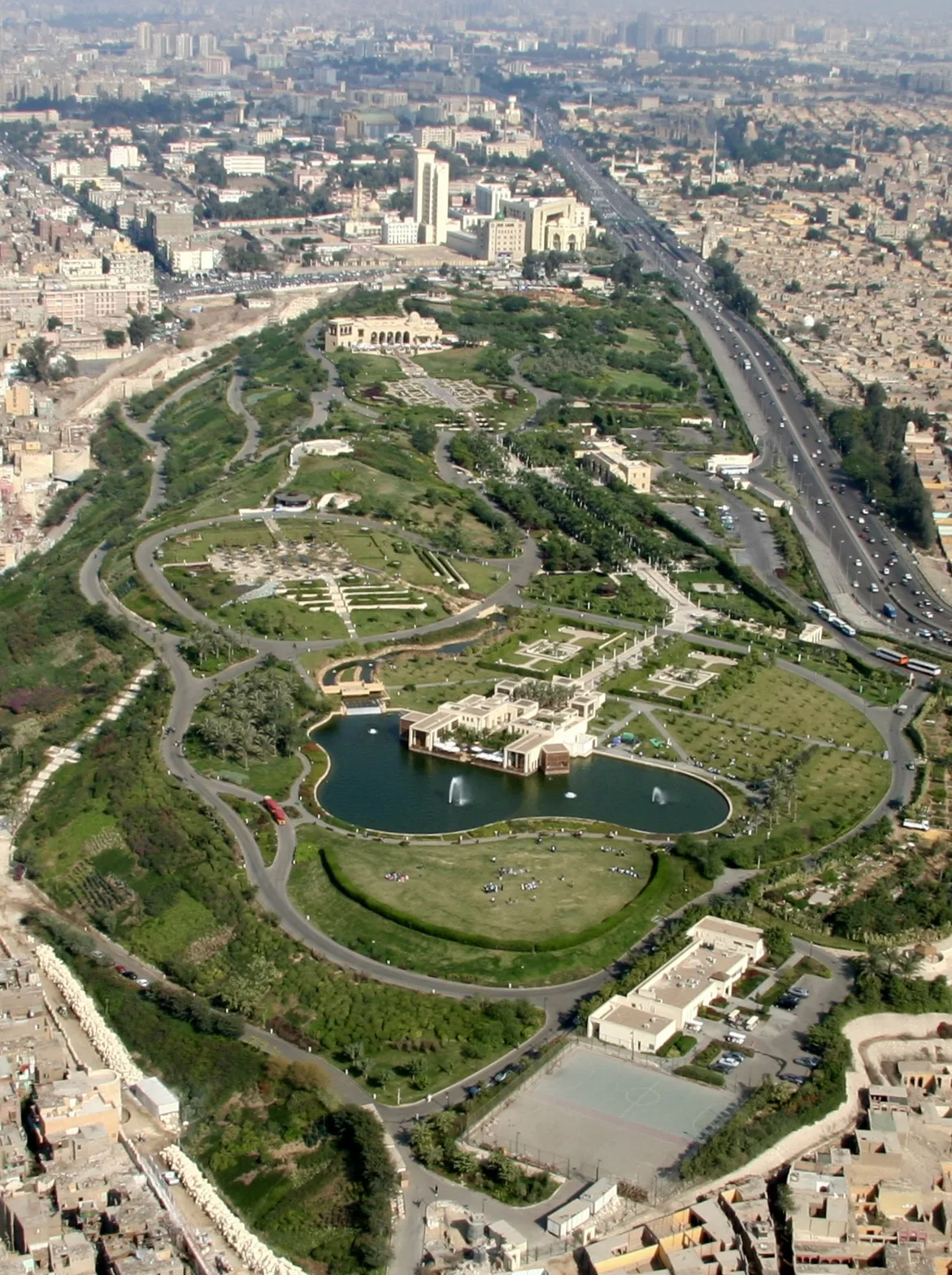
A public park of about 30 hectares created on a former rubble mound, overlooking Historic Cairo.
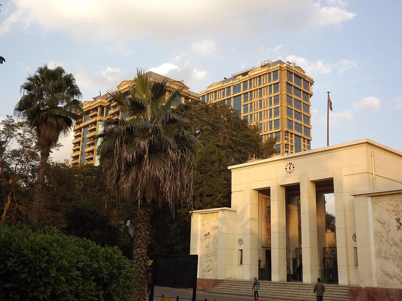
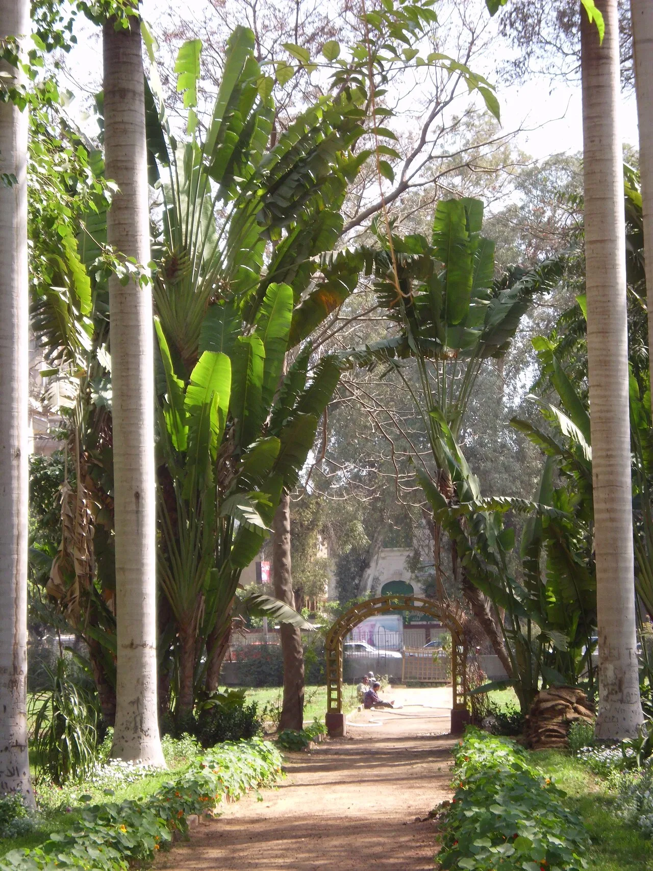
Al-Azhar Park (Arabic: حديقة الأزهر, romanized: Ḥadīqat al-Azhar) is a public park located in qism al-Darb al-Ahmar, in Historic Cairo, Egypt.
Among several honors, this park is listed as one of the world's sixty great public spaces by the Project for Public Spaces. The park was created by the Historic Cities Support Programme of the Aga Khan Trust for Culture (AKTC), an entity of the Aga Khan Development Network. The park was developed at a cost in excess of US$30 million, its funding a grant to Cairo from Aga Khan IV, a direct descendant of Prophet Muhammad through his daughter, Fatima, and cousin/son-in-law, Ali. He is therefore a descendant of the early Fatimid Caliphs of Cairo.
The park project, an urbanism initiative, included:
the development of the park
archeology involving a 12th-century Ayyubid wall
historic building rehabilitation (the 14th Century Umm Sultan Shaban Mosque, the 13th century Khayrbek complex, and the Darb Shoughlan School)
several quality of life improvement initiatives requiring skills training, area rehabilitation, microfinance, and support in the areas of health and education, among others.
The park site is the Darassa Hills, a 31 hectares (77 acres) area less than 4 kilometres (2.5 mi) from the Nile with a north-south stretch of hills. The site is bounded to the west by the Ayyubid wall and to the east by cemeteries. The Cairo Citadel is to the south.
The site was historically used as a landfill, particularly for debris from redevelopment. The practice intensified in the 16th century during the Mamluk Sultanate. By the late-20th century, the fill was 40 metres (130 ft) deep in some parts. No development occurred as the fill was unsuitable as building foundations and the cost of fill removal was prohibitive.
In 1984, Aga Khan IV decided to donate a park to Cairo following a conference organized by the Aga Khan Award for Architecture called "The Expanding Metropolis: Coping with the Urban Growth of Cairo". The Darassa Hills were selected for their proximity to the historic districts of Islamic Cairo. Existing occupants on the site were relocated in the late-1980s, including a police horse compound. Afterwards, the General Organization for Greater Cairo Water Supply took over the site to build water tanks funded by the United States Agency for International Development; the tanks were to be completed in 1995. In 1990, AKTC and the Cairo Governorate concluded a new agreement which incorporated the water tanks into the park design. The master plan was developed with the help of Sasaki. The site was taken over by AKTC in 1996. By this time, the park was part of a larger Aga Khan Historic Cities Programme plan to rehabilitate Al-Darb al-Ahmar.
Earthworks and grading began in 1997 as detailed design continued. The existing soil and fill were subject to settlement under load or destabilization through water absorption.
Source: Wikipedia · text available under CC BY-SA 4.0
- Built / established
- Opened in 2005
- Location
- Cairo, Egypt
- Coordinates
- 30.0406, 31.2647
- Category
- Nature & Parks
Key facts
- Developed by the Aga Khan Trust for Culture.
Source: Wikipedia · Factual information about the real landmark; unrelated to virtual ownership.
Price & ownership history
Landmarks near Al-Azhar Park
Map → Available
📖 84 K reads
Available
📖 84 K reads
 Available
📖 1 K reads
Available
📖 1 K reads
 Available
📖 7 K reads
Available
📖 7 K reads
 Available
📖 5 K reads
Available
📖 5 K reads