Jabal Daka
Virtual asset linked to this landmark

- Virtual owner
- The platform
- Times sold
- 0
- Searches (30 days)
- 0
- Watching
- 0
Virtual ownership only. It gives no legal, financial or physical right in the real landmark. Prices are set by the market and may fall.
About Jabal Daka and its history
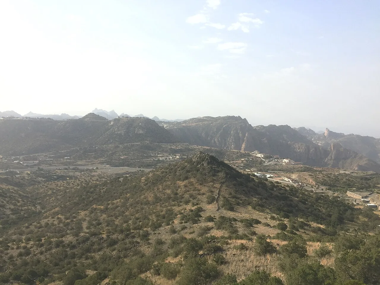
The highest peak in the Taif area, located at Al-Shafa, rising above 2,500 metres and covered in juniper trees.
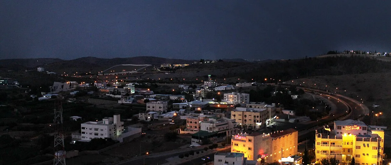
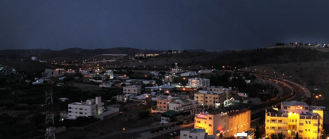
Jabal Dakkā (Arabic: جَبَل دَكَّا), or Mount Daka, is the highest mountain in the area of the town of Ash-Shafā, about 20 km (12 miles) from the city of Taif, located in the western region of Saudi Arabia.
Height
The height of the top of the mountain is between 2,500 and 2,900 metres (8,200 and 9,500 feet) above sea level, this has caused a controversy with the timing of the sunset for Ramadan, as the sun stays on the peak two minutes longer than the surrounding area. To resolve the controversy a panel of religious scholars visited the mountain to observe sunset. The committee of legitimacy, including a member of the Supreme Council of Saudi Scholars Abdullah al-Mutlaq determined that the peak need not adhere to calendar.
Location
The mountain is located 20 kilometres (12 miles) south-west of Taif. It overlooks the Shifa tourist center. The mountain is used to know the dates of prayer, fasting and breakfast in the month of Ramadan. The vegetation of the mountain is covered with juniper trees, the plant covers the bottom of the mountain and then gradually thins out until it reaches the top. The temperature of the top reaches below 0 °C (32 °F) in the winter. The mountain has a tourist resort just 7 km (4.3 miles) away from the Shifa.
Wildlife
Hamadryas baboons are present here.
Source: Wikipedia · text available under CC BY-SA 4.0
- Location
- Taif, Saudi Arabia
- Coordinates
- 21.0930, 40.2900
- Category
- Nature & Parks
Price & ownership history
Landmarks near Jabal Daka
Map → Available
 Available
 Available
 Available
📖 16 K reads
Available
📖 16 K reads