Wadi Hammamat
Virtual asset linked to this landmark

- Virtual owner
- The platform
- Times sold
- 0
- Fame on Wikipedia
- 13,112 article reads in 12 months
- Searches (30 days)
- 0
- Watching
- 0
Virtual ownership only. It gives no legal, financial or physical right in the real landmark. Prices are set by the market and may fall.
About Wadi Hammamat and its history
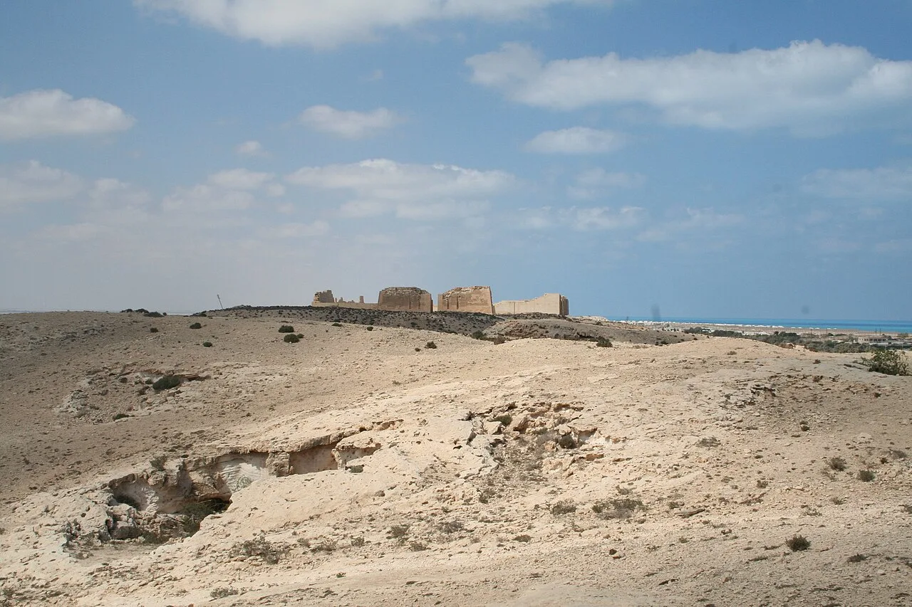
A valley in the Eastern Desert on the route between Qift and Quseir, with ancient quarries and rock inscriptions of many periods.
Wadi Hammamat (Arabic: وادي الحمامات, meaning "valley of the baths") is a wadi in the Eastern Desert, located about 110 kilometres east of Qena in Egypt. Known since the beginnings of pharaonic civilization, Wadi Hammamat was exploited for its gold mines and, above all, for its greywacke quarries, known as "Bekhen stone", for millennia. In addition, the wadi had a strategic position because it provided access to the caravan route from Coptos to the Red Sea, the most direct route between the Nile Valley and the Red Sea, hence its ancient Egyptian name Rô-hanou ("outlet of the waters").
Wadi Hammamat is a wadi in the Red Sea Hills, in the Eastern Desert of Egypt. It is located 80 kilometres from the Nile Valley directly east of Qift. The present name was given by European explorers during the 19th century after the name of the well located in the valley (Bir el-Hammamat). Before that, the wadi was known by local inhabitants as Wadi el-Kafr, while only the well bore the name Hammamat.
Wadi Hammamat forms a six-kilometre-long natural gorge between the mountains of Jabal el-Hammamat to the west, Jabal Rasfah to the north, Jabal Shahimiyyah to the south, and Jabal el-Sid to the east (the "mountain of silver and gold" of the ancient Egyptians). The two ends of the wadi are Bir el-Hammamat, to the west (25°58′07″N 33°32′49″E), and Bir el-Fawakhir, to the east (26°00′45″N 33°36′08″E). Since Wadi Hammamat lies in the western part of the Arabian Mountain Range, within the drainage basin of the Nile, it naturally slopes from east to west. Bir el-Fawakhir is located 400 metres above sea level and Bir el-Hammamat at 320 metres. Bir el-Hammamat marks the intersection of Wadi Hammamat with Wadi Um Had, while Bir el-Fawakhir marks the intersection of Wadi Hammamat with Wadi Fawakhir to the northeast and Wadi el-Sid to the southeast. Wadi Hammamat also meets other valleys along its length: Wadi Attala (26°00′37″N 33°35′15″E) and Wadi Masaq el-Baqr (26°00′03″N 33°34′43″E) to the north, and Wadi el-Chagg to the south (25°58′17″N 33°33′21″E).
From a geological point of view, Wadi Hammamat consists of different geological formations, which account for the great variety of colours found on the rocks of the valley.
Hammamat siliciclastic rock (Late Precambrian). This formation includes three types of siliciclastic sedimentary rocks: greywacke (a variety of sandstone that is greenish-grey and occasionally dark grey or purplish-grey), slaty mudstone (shades of purple, green and grey), and green breccia (a conglomerate of pebbles and stones—mainly fragments of igneous rock—embedded in a greenish-grey matrix). These three varieties of rock are slightly metamorphosed. From a distance, they all appear dark brownish-grey.
Nubian Sandstone (Late Cretaceous). This formation contains a light-brown type of sandstone that is subject to desert varnish.
Fawakhir granite (Late Precambrian).
Source: Wikipedia · text available under CC BY-SA 4.0
- Location
- El Quseir, Egypt
- Coordinates
- 25.9900, 33.5700
- Category
- Ancient Sites
Source: Wikipedia · Factual information about the real landmark; unrelated to virtual ownership.