Sehel Island
Virtual asset linked to this landmark
- Virtual owner
- The platform
- Times sold
- 0
- Fame on Wikipedia
- 3,465 article reads in 12 months
- Searches (30 days)
- 0
- Watching
- 0
Virtual ownership only. It gives no legal, financial or physical right in the real landmark. Prices are set by the market and may fall.
About Sehel Island and its history
An island in the Nile at Aswan with hundreds of rock inscriptions, including the Famine Stela.
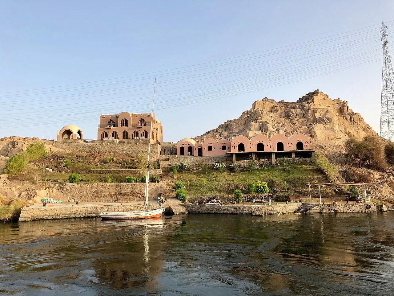
Sehel Island (Ancient Greek: Σῆτις) is located in the Nile, about 2 miles (3.2 km) southwest of Aswan in southern Egypt. It is a large island, and is roughly halfway between the city and the upstream Aswan Low Dam.
Geography
Sehel Island, spanning 3/4 the width of the Nile, is the primary large island below the Nile's First Cataract and the Aswan Low Dam (1902). Following downriver, the next major islands after Sehel are: Saluga, Ambunarti, Elephantine, and then Kitchener's Island. There are a dozen smaller islands scattered around them.
Archaeological artefacts
The island was known in ancient tiles as Setet, and there are many archaeological sites, including sacred places, such as the temple of Anuket, the Egyptian water goddess, and goddess of the Nile's cataracts.
Sehel was home to a stone quarry for granite used during various Ancient Egyptian eras, and there are many inscriptions in the island's granite boulders. These inscriptions were usually left by travellers marking either the start or end of their journey to Nubia. There are several famous inscriptions that record ancient historical events. One is the Famine Stela, which is of Greco-Roman origin, but claims to record events from the time of Djoser and Imhotep.
Source: Wikipedia · text available under CC BY-SA 4.0
- Location
- Aswan, Egypt
- Coordinates
- 24.0580, 32.8720
- Category
- Ancient Sites
Source: Wikipedia · Factual information about the real landmark; unrelated to virtual ownership.
Price & ownership history
Landmarks near Sehel Island
Map → Available
 Available
 Available
 Available