Wadi Namar
Virtual asset linked to this landmark
- Virtual owner
- The platform
- Times sold
- 0
- Searches (30 days)
- 0
- Watching
- 0
Virtual ownership only. It gives no legal, financial or physical right in the real landmark. Prices are set by the market and may fall.
About Wadi Namar and its history
A tributary of Wadi Hanifa in south-west Riyadh, with a dam, a lake and a public park along the rocky escarpment.
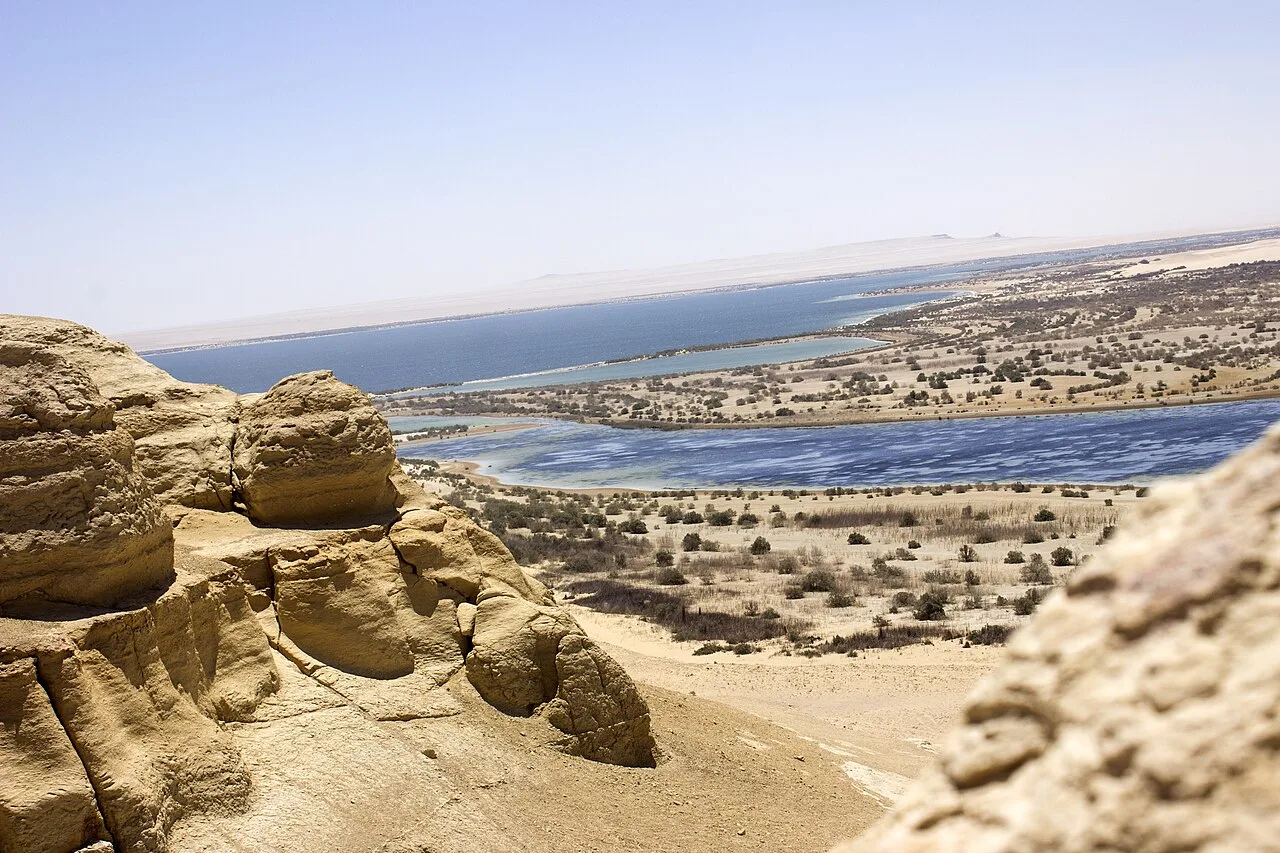
Wadi Namar is one of the valleys that drain into Wadi Hanifa, and it lies in the south-western part of Riyadh. It cuts through limestone cliffs belonging to the Tuwaiq plateau and carries floodwater in the rainy season from the higher ground in the west towards the main channel of Wadi Hanifa.
A dam was built across the wadi to hold back floodwater and help recharge groundwater, and a lake has formed behind it whose level changes with the rains. As part of the programme to rehabilitate Wadi Hanifa and its tributaries, carried out by the authority responsible for developing Riyadh, the shores of the lake and the surrounding area were laid out as a public park. Footpaths and seating areas facing the water were built, and palm trees and native plants were added.
The park is used mainly by residents of the southern and western districts of Riyadh, particularly in the evening and in winter, when the weather is mild. Visitors walk along the promenade beside the lake or sit on the stone terraces, with the high face of the rocky escarpment rising behind them.
- Location
- Riyadh, Saudi Arabia
- Coordinates
- 24.5700, 46.6760
- Category
- Nature & Parks
Price & ownership history
Landmarks near Wadi Namar
Map → Available
 Available
 Available
 Available