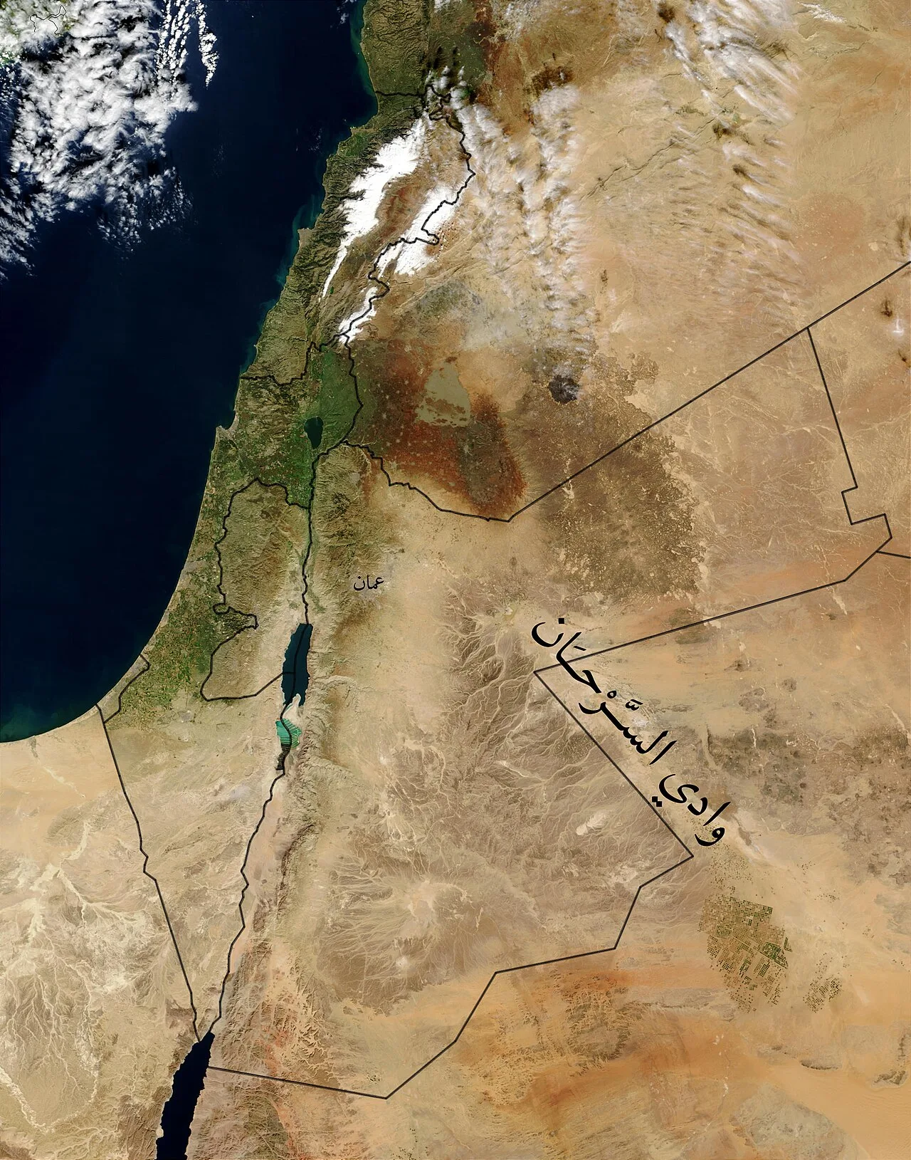
Wadi Sirhan
Virtual asset linked to this landmark

- Virtual owner
- The platform
- Times sold
- 0
- Fame on Wikipedia
- 7,068 article reads in 12 months
- Searches (30 days)
- 0
- Watching
- 0
Virtual ownership only. It gives no legal, financial or physical right in the real landmark. Prices are set by the market and may fall.
About Wadi Sirhan and its history
A broad depression running from Al-Jouf into Jordan, historically a caravan route between Arabia and Syria.
Wadi Sirhan or Wadi Al-Sarhan (Arabic: وَادِي سِرْحَان, romanized: Wādī Sirḥān, lit. 'Valley of Sirhan') is a wide depression in the northwestern Arabian Peninsula. It runs from the Al-Jouf Province in Saudi Arabia northwestward into Jordan. It historically served as a major trade and transportation route between Syria and Arabia. From antiquity until the early 20th century, control of Wadi Sirhan was often contested by various Arab tribes. The valley is named after the Sirhan tribe which migrated there in the mid-17th century. Sirhan can also mean wolf in certain Arabic dialects.
Geography
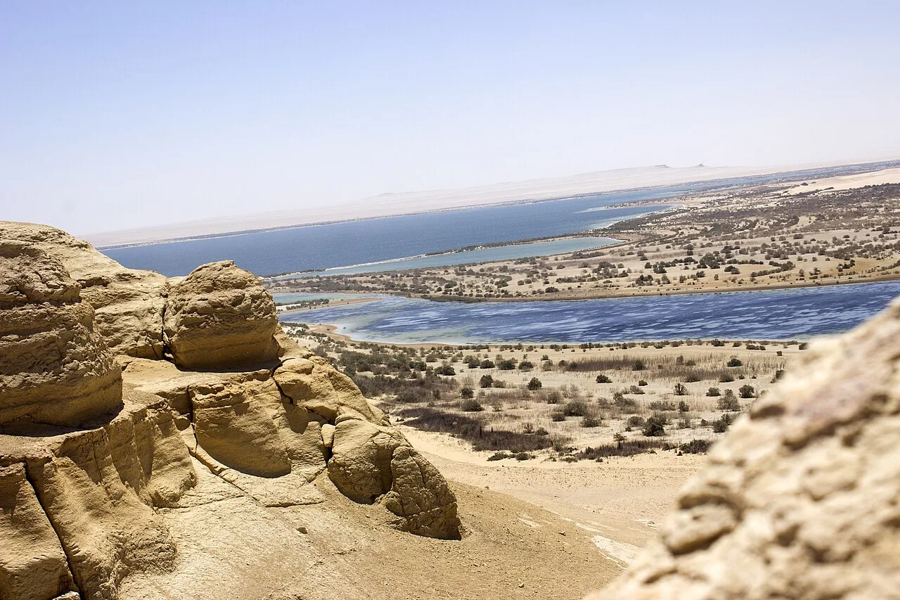
Wadi Sirhan is a wide, enclosed depression that starts in the Al-Jouf Province in Saudi Arabia (elevation 525 m) and runs 140 kilometers (87 mi) northeast into Jordan, ending in the wells of Maybuʿ. Its breadth varies 5–18 kilometers (3.1–11.2 mi). According to the historian Irfan Shahîd, "the term wādī, which suggests a narrow passageway, might seem misapplied" to Wadi Sirhan, a "broad lowland". The Czech explorer Alois Musil described it as a "sandy, marshy lowland" with scattered hillocks.
History
Wadi Sirhan historically served as an important trade route between Arabia and Syria. The Assyrian king Esarhaddon launched a campaign against the Bazu and Khazu tribes in Wadi Sirhan in the 7th century BCE.
The basin continued to serve as an important route during the Roman era, connecting the Arabia Petraea province with the Arabian Peninsula. Though its strategic value emanated from its role as a gateway for trans-Arabian trade and transportation, Wadi Sirhan was also a significant source of salt. At its northern end, it was guarded by the fortress of Azraq, while its southern end was guarded by the fortress of Dumat al-Jandal. At both forts inscriptions were found indicating the presence of troops from the Bosra-based Legio III Cyrenaica.
Wadi Sirhan was the region from which the Salihids entered Syria and became the principal Arab federates of the Byzantine Empire throughout the 5th century CE. When the Salihids were succeeded by the Ghassanids at the beginning of the 6th century, Wadi Sirhan came to be dominated by the latter's allies, the Banu Kalb. The Ghassanids were charged by the Byzantines with supervision over the region after Emperor Justinian I dismantled the Limes Arabicus, a series of garrisoned fortifications guarding the empire's eastern desert frontiers, c. 530. The Ghassanids and the Kalb essentially supplanted the limes. The Ghassanid phylarch Arethas passed through the depression on his way to defeating the Banu Tamim. Likewise, Alqama, a poet of the latter tribe, passed through Wadi Sirhan to meet with Arethas to lobby for his brother's release from captivity.
Following the Muslim conquest in 634 CE, the basin became an often fought over frontier between the Banu Kalb and their distant kinsmen from the Banu al-Qayn.
Source: Wikipedia · text available under CC BY-SA 4.0
- Location
- Al-Jouf, Saudi Arabia
- Coordinates
- 30.5000, 38.2200
- Category
- Nature & Parks
Source: Wikipedia · Factual information about the real landmark; unrelated to virtual ownership.