Shali Fortress
Virtual asset linked to this landmark
- Virtual owner
- The platform
- Times sold
- 0
- Fame on Wikipedia
- 160,946 article reads in 12 months
- Searches (30 days)
- 0
- Watching
- 0
Virtual ownership only. It gives no legal, financial or physical right in the real landmark. Prices are set by the market and may fall.
About Shali Fortress and its history
An old fortress at the heart of Siwa Oasis, built of kershef, a mix of salt and mud.
The Siwa Oasis (Arabic: واحة سيوة Wāḥat Sīwah [ˈwæːħet ˈsiːwæ]) is an urban oasis in Egypt. It is situated between the Qattara Depression and the Great Sand Sea in the Western Desert, 50 kilometres (31 mi) east of the Egypt–Libya border and 560 kilometres (350 mi) from the Egyptian capital city of Cairo. It is famed for its role in ancient Egypt as the home to an oracle of Amun, the ruins of which are a popular tourist attraction, giving it the ancient name Oasis of Amun-Ra, after the major Egyptian deity.
Geography
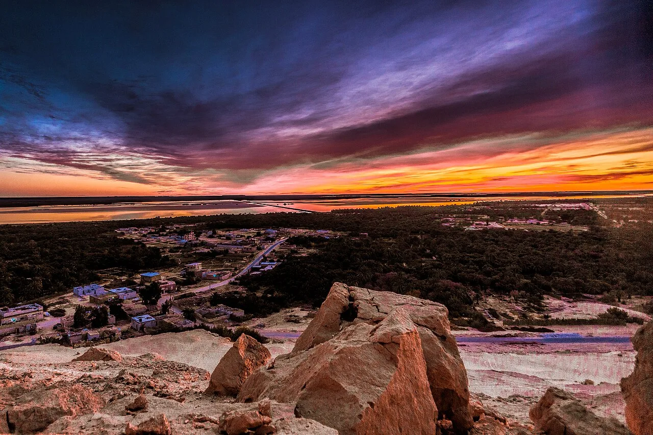
The oasis is in a deep depression that reaches −19 metres (−62 ft) below sea level. To the west, the al Jaghbub Oasis rests in a similar depression and to the east, the large Qattara Depression is also below sea level. The depression is fertile due to both natural flowing artesian wells and irrigation. It is the site of about 200 natural springs. Siwa is directly adjacent to the Libyan Desert plateau. The geology is characterised by horizontal layers of porous limestones alternated with marls and clays dating back to the Miocene. The limestone plateau and inselbergs resulting from the oasis' erosion along the dunes create reliefs that the Isiwan describe as mountains (adrar in Tamazight). Two large salt lakes are fed by drainage water of agricultural origin. The oasis supports the cultivation of thousands of date palms and olives. Siwa has a temperate desert climate.
Name
The Ancient Egyptian name of the oasis was sḫt jꜣmw, meaning "Field of Trees". The native Libyan toponym may be preserved in the Egyptian t̠ꜣ(j) n d̠rw "tꜣj on the fringe" where t̠ꜣ transcribed the local Palaeo-Berber name *Se or *Sa. This name survived in the works of Muslim geographers as سنترية Santariyyah.
Siwah is the Arabic name of the oasis called Sali in Berber. The oasis is also called Isiwan in modern Berber.
The etymology of the word سيوة Siwah is unclear. Champollion derives it from Coptic ⲥⲟⲟⲩϩ (soouh) – a corruption of the Egyptian word for "oasis", ⲟⲩⲁϩ (ouoh). The additional evidence of the Egyptian source of Siwa's name is another place name in Kharga Oasis that may share the same etymology – S.t-wȝḥ, modern Deir el-Hagar). Basset links it to a Berber tribal name swh attested further west in the early Islamic period, while Ilahiane, following Chafik, links it to the Shilha Berber word asiwan, a type of bird of prey, and hence to Amun-Ra, one of whose symbols was the falcon. Some classical authors referred to the site as "Ammonium".
Source: Wikipedia · text available under CC BY-SA 4.0
- Built / established
- 13th century AD
- Location
- Siwa, Egypt
- Coordinates
- 29.2030, 25.5190
- Category
- Historic Landmarks
Key facts
- It was badly damaged by heavy rains in 1926.
Source: Wikipedia · Factual information about the real landmark; unrelated to virtual ownership.
Price & ownership history
Landmarks near Shali Fortress
Map → Available
 Available
 Available
 Available