Gilf Kebir
Virtual asset linked to this landmark

- Virtual owner
- The platform
- Times sold
- 0
- Fame on Wikipedia
- 10,263 article reads in 12 months
- Searches (30 days)
- 0
- Watching
- 0
Virtual ownership only. It gives no legal, financial or physical right in the real landmark. Prices are set by the market and may fall.
About Gilf Kebir and its history
A sandstone plateau in the far south-west of Egypt rising about 300 metres above the surrounding desert, protected since 2007.
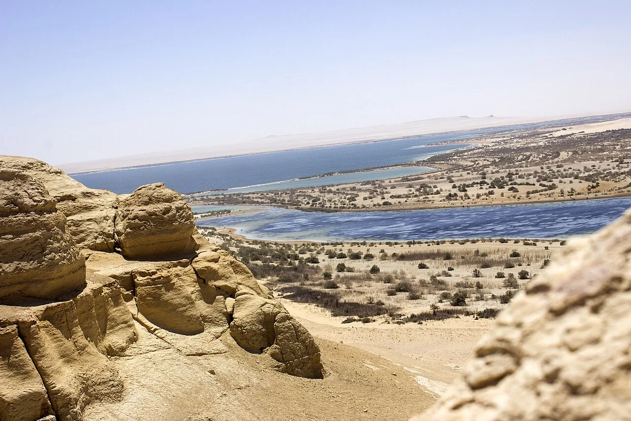
Gilf Kebir (جلف كبير) (var. Gilf al-Kebir, Jilf al Kabir, Gilf Kebir Plateau) is a plateau in the New Valley Governorate of the remote southwest corner of Egypt, and southeast Libya. Its name translates as "the Great Barrier". This 7,770 km2 (3,000 sq mi) sandstone plateau, roughly the size of Puerto Rico, rises 300 m (980 ft) from the Libyan Desert floor. It is the true heart of the Gilf Kebir National Park.
The name Gilf Kebir was given to the plateau by Prince Kamal el Dine Hussein in 1925, as it had no local name. It is known for its rugged beauty, remoteness, geological interest, and the dramatic cliff paintings-pictograph and rock carvings-petroglyph which depict an earlier era of abundant animal life and human habitation.
Geography and climate
The Uweinat mountain range at the very south of the plateau extends from Egypt into Libya and Sudan.
The plateau is crisscrossed by Wadis (dry, seasonal riverbeds). These include:
Wadi Hamra وادي حمرا
Wadi Akhdar وادى الاخضر
Wadi Bakht وادى بخت
Wadi Dayiq وادى الضيق
Wadi Firaq وادى فراق
Wadi Gazayir وادى الجزائر
Wadi Maftuh وادى مفتوح
Wadi Mashi وادى ماشى
Wadi Sura وادي صورة
Wadi Wassa وادى واسع
Wadi Abd el-Malik وادي عبد المالك
Gilf Kebir Plateau lies in the heart of the eastern part of the vast Sahara Desert, and thus experiences an extremely hyper-arid climate. The area receives very little rainfall, with annual average precipitation hardly reaching 0.1 mm, and has a geological aridity index/dryness ratio of over 200, meaning that solar energy received at the ground evaporates more than 200 times the amount of precipitation received.
The Gilf Kebir is known for its prehistoric Neolithic petroglyphs
Rock engravings in the upper part of wadi Hamra.
Magharet el Kantara in the southern Gilf Kebir contains only one known rock art site, a cave discovered by Shaw & party in 1936.
Wadi Sura in the southwestern Gilf Kebir: the "Cave of Swimmers", discovered by the Hungarian Count László Almásy (The English Patient), plus many other paintings nearby.
In January 2003, Zerzura Expeditions and Jacopo Foggini independently discovered a major new rock art site in the Western Gilf Kebir (Foggini-Mestekawi Cave).
The North-western half of the Gilf Kebir aside from Wadi Sura has only a few scattered engravings, of an apparently very ancient age.
Karkur Talh and Karkur Murr: major eastern valleys of the Uweinat contain one of the richest concentrations of rock art in the whole Sahara.
Western Uweinat: Shelters under the huge granite boulders in the western Uweinat contain numerous paintings, including the famous sites of Ain Doua.
Jebel Arkenu, Jebel Kissu & Yerguehda Hill, the lesser granite massifs around Uweinat have many smaller sites.
Saharan rock art has been found to resemble the art of Nile valleys. The Saharan area was wetter until mid-Holocene or about 4000 BC, when the monsoon retreated southwards, forcing humans to migrate.
Source: Wikipedia · text available under CC BY-SA 4.0
- Location
- New Valley, Egypt
- Coordinates
- 23.4400, 25.8400
- Category
- Nature & Parks
Source: Wikipedia · Factual information about the real landmark; unrelated to virtual ownership.