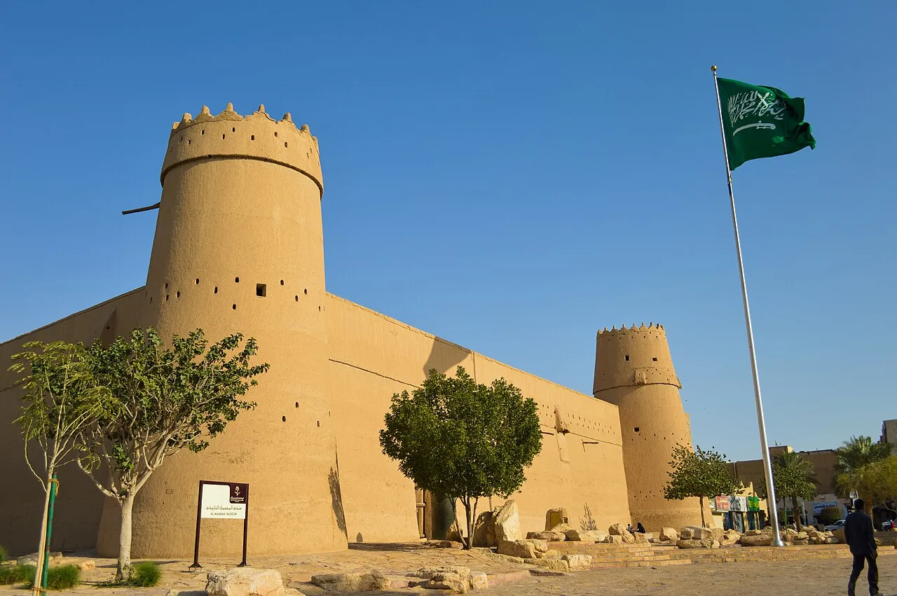
Nilometer of Rhoda Island
Virtual asset linked to this landmark
- Virtual owner
- The platform
- Times sold
- 0
- Fame on Wikipedia
- 32,666 article reads in 12 months
- Searches (30 days)
- 0
- Watching
- 0
Virtual ownership only. It gives no legal, financial or physical right in the real landmark. Prices are set by the market and may fall.
About Nilometer of Rhoda Island and its history
A structure at the tip of Rhoda Island once used to measure the Nile's flood level.
A nilometer is a structure for measuring the Nile River's clarity and water level during the annual flood season in Egypt. There were three main types of nilometers, calibrated in Egyptian cubits: (1) a vertical column, (2) a corridor stairway of steps leading down to the Nile, and (3) a deep well with a culvert. If the water level was low, the fertility of the floodplain would suffer. If it was too high, the flooding would be destructive. There was a specific mark that indicated how high the flood should be if the fields were to get good soil.
Nilometers originated in pharaonic times, were also built in Roman times, and were highly prevalent in Islamic Egypt in Rashidun, Umayyad, Abbasid, Tulunid, Mamluk, Alawiyya and Republican periods, until the Aswan Dam rendered them obsolete in the 1960s.
Description
Between July and November, the reaches of the Nile running through Egypt would burst their banks and cover the adjacent floodplain. When the waters receded, around September or October, they left behind a rich alluvial deposit of exceptionally fertile black silt over the croplands. The akhet, or Season of the Inundation, was one of the three seasons into which the ancient Egyptians divided their year.
The annual flood was of great importance to Egyptian civilization. A moderate inundation was a vital part of the agricultural cycle; however, a lighter inundation than normal would cause famine, and too much flood water would be equally disastrous, washing away much of the infrastructure built on the flood plain. Records from AD 622–999 indicate that, on average, 28% of the years saw an inundation that fell short of expectations.
Across Egypt various nilometers could be found that recorded readings of the Nile's annual levels. A fragment of a recovered Egyptian stele "Royal Annals of the Old Kingdom" known as the "Palermo Stone" deemed to be from the times of the First Dynasty around 3,000 B.C.E. The Palermo Stone reports systems of measurements utilizing units such as cubits, palms, and fingers.
The ability to predict the volume of the coming inundation was part of the mystique of the ancient Egyptian priesthood. The same skill also played a political and administrative role, since the quality of the year's flood was used to determine the levels of tax to be paid. This is where the nilometer came into play, with priests monitoring the day-to-day level of the river and announcing the awaited arrival of the summer flood.
Religious attributes related to the Nile intertwined with the ideology or belief in Ma'at (a system of natural balance). Nilometers were accessible to only members of the city's priests and nobles. The restriction on who may access these structures ensured both accountability in proper readings and political control for the religious communities and ruling classes.
Source: Wikipedia · text available under CC BY-SA 4.0
- Built / established
- Built in 861 AD
- Location
- Cairo, Egypt
- Coordinates
- 30.0069, 31.2250
- Category
- Historic Landmarks
Source: Wikipedia · Factual information about the real landmark; unrelated to virtual ownership.
Price & ownership history
Landmarks near Nilometer of Rhoda Island
Map → Available
 Available
 Available
 Available